RoadEng 8.0

Creates a Terrain model (TIN) from large point sets, including LiDAR data
3.8 
Rating
Your vote:
Latest version:
8.0.316 See all
Developer:
Screenshots
1 / 7
Awards (2)
Show all awards
Software Informer Virus Free award
Trusted Download
137 MB

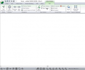
RoadEng includes functions for data collection, terrain modelling, contouring, site design, earthwork quantities, culverts, and corridor design.
Significantly different from other civil design software, RoadEng focuses on engineering, not CAD. RoadEng was designed from the ground up to work with objects such as surfaces, cross sections, alignments, drainage structures, and templates.

Stand-alone or with your existing civil design software, RoadEng® can add speed and power to your next corridor design project.

Comments (1)

3.8
Rating
4 votes
5 stars
2
4 stars
1
3 stars
0
2 stars
0
1 stars
1
User

Your vote:

A
rating Amponsah Daniel
The software is very helpful due to its efficiency

Was it helpful?  yes(1) no(0) | Reply

Related software

Trimble Link Engine
Trimble Link Engine
Free
rating

Component that provides the Trimble Link functionality.

ideaMaker
ideaMaker
Free
rating

Free-to-use powerful slicing software.

Geospatial Modelling Environment
Free
rating

A platform designed to facilitate rigorous spatial analysis and modelling.

Akua
Akua
Free
rating

Application for water supply, sewer and storm drainage design.

Diolkos
Diolkos
rating

State-of-the-art road design software.

Related suggestions